Sechault
This map is one of my proudest achievements as a level designer. I was tasked with creating a level that would depict the famous WWI battle of Sechault, fought and won by the Harlem Hellfighters. The Harlem Hellfighters was a nickname given to the 369th U.S. Infantry Regiment, which consisted primarily of African Americans. The Sechault level is named after the real-life commune in France.
Pre-Production
When I began developing the level, I was given a single design goal to work towards: Create a compelling combat space set exclusively in a field. This presented an interesting challenge. Using flat farmland as a biome for a level is a creative direction that would produce an authentic WWI experience. However, in terms of game design, creating a map around such a theme carries many risks. Players don’t have as much cover to hide behind to protect themselves from enemy fire, and it is harder for them to orient themselves in terrain without distinctive features.

Vertical Slice
This level was the first map to begin development following our release into early access. We took stock of the biomes and design goals used to build previous levels, then set up the following constraints to differentiate the level from previous ones:
- No towns or villages are to be included
- The colour palette must consist of lively greens for grass and sharp white for exposed chalk
- Construct shallow trenches to convey a narrative of recent construction that will contrast the scenic countryside
Under these constraints, I blocked out 1/3rd of the level for playtesting purposes.

Initial playtesting showed that the scale of farmland, woodlands, and trench networks across long, rolling hills validated that the design goals for the map were off to a good start. Following further iteration and playtesting, I expanded the vertical slice across the entirety of the map.
After the vertical slice’s design was replicated across the entire map, flaws in the design began to appear.
- The scale of the farmland was far too large, resulting in players having difficulty crossing sectors.
- Testers communicated trouble orienting themselves due to the repetitive nature of the map.
- Players reported a lack of points of interest to fight over.
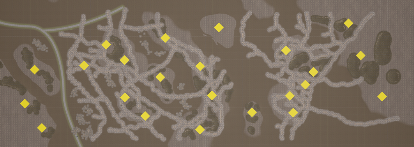
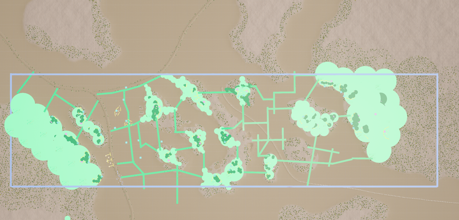
To address this issue, I added bocage hedgerows across the entire level. I collected references from across northern France, then blocked out a draft and implemented them into the level.
Whitebox Phase
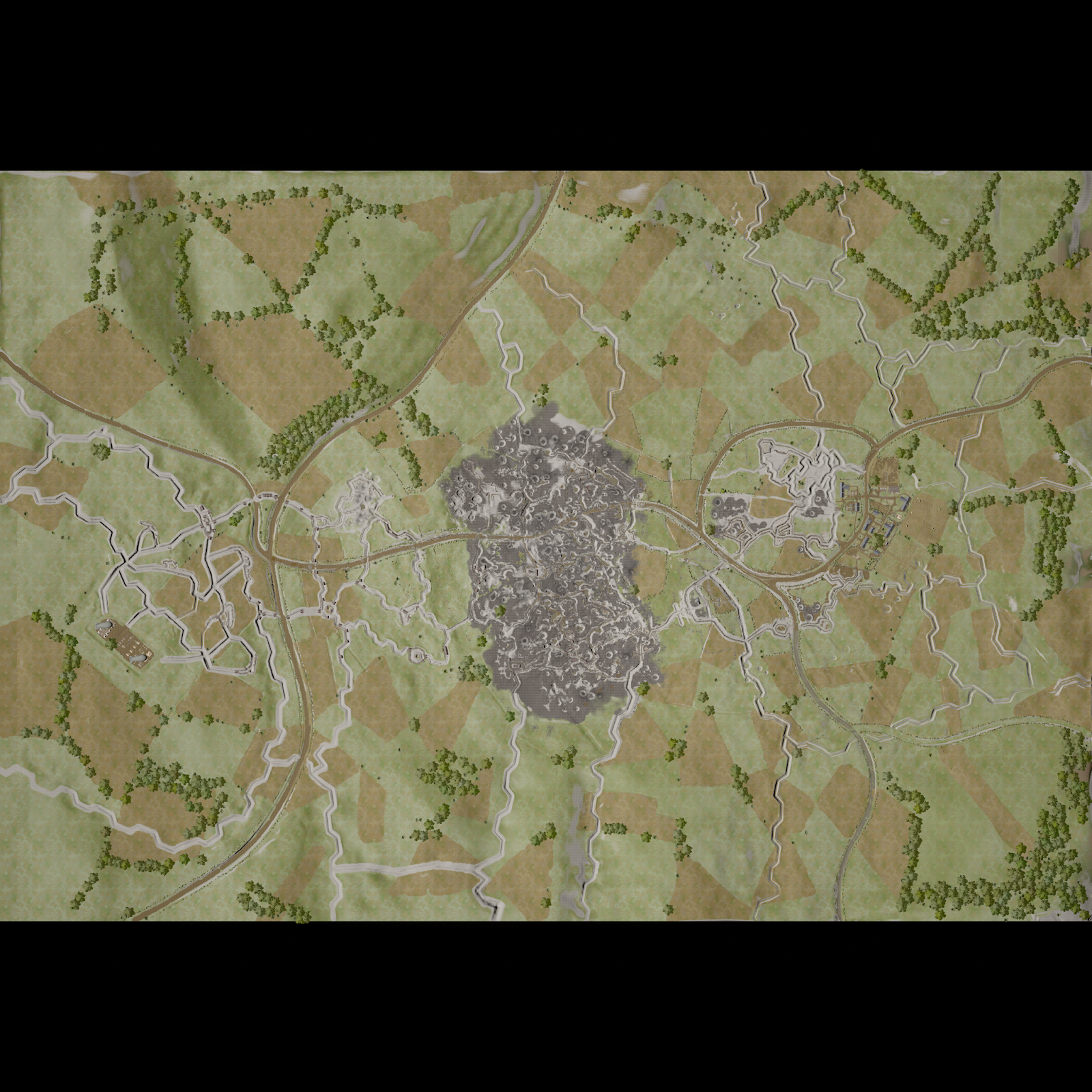
After several iteration cycles, the hedgerows were implemented into the level and tested with our community. Several other geographic features were also added, including a road, clusters of craters, and a narrow-gauge railway. This second draft of the level showed improvement in the execution of our design goals. Specifically, the points of interest proved to be very fun to fight over. However, the map still exhibited several design flaws that needed to be addressed before this map could be released:
- A minority of players didn’t feel like they were fighting across farmland.
- The partitions of land via hedgerows felt too large for the scale of the map.
- The lack of pre-war, man-made features, such as houses and farms, resulted in a level that had repetitive points of interest.

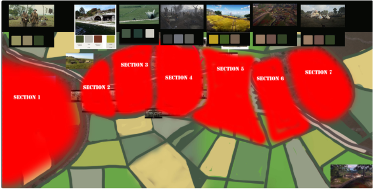
We decided that we could solve many of the level’s remaining issues through collaboration with an environment artist, so we brought one of our artists onto Sechault to assist with look dev. Our first course of action was to create a mood board. This helped us figure out how to utilize our paint layers to make each section feel more distinct. I then expanded on this mood board by writing out a document that revised the narrative being told across each section of the map. Our goal was to create a clearer framework for how Sechault should look, feel, and tell its story.
Final Revisions
After creating the narrative document, several revisions to the geographic features were added. To distinguish the German portion of the map from its surroundings, we added a small hamlet that acted as a motor pool (storage area) for captured German vehicles and a staging site for infantry. Another notable revision involved concentrating craters in the map center to create a visually stunning no man’s land. We also increased the verticality of the hills that surrounded the craters. This helped create a unique sense of progression while charging up and down a hill to enter combat. However, playtesters commented that the recent elevation changes gave artillery and heavy machine guns too much of an advantage over weapons carried by infantry. To remedy this, I added foliage along the hills to block the sightlines into the center of the level. After completing these revisions, I handed over ownership of the level to the environment team, and I was reassigned to assist with the development of Poelcapelle.